

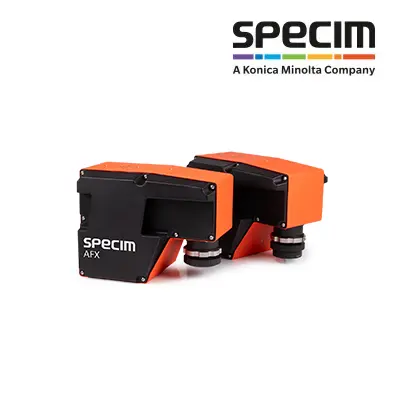
Specim AFX Series
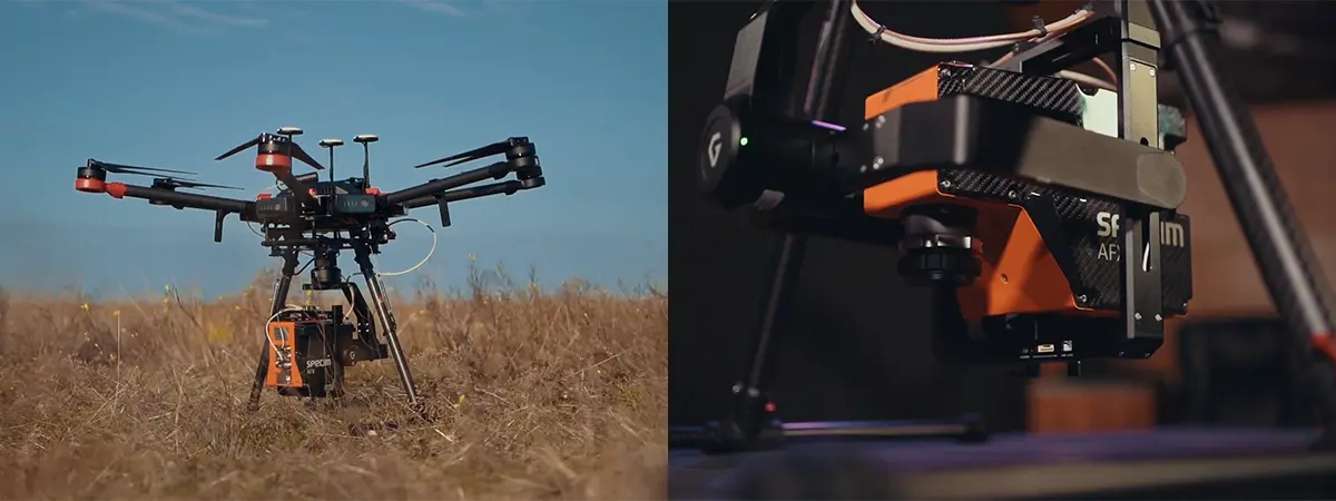
The Specim AFX Series combines a hyperspectral camera, onboard computer, internal storage, and Trimble APX-15 GNSS/IMU in a compact payload for drone-based remote sensing. Its integrated design simplifies installation and supports automated collection of hyperspectral and navigation data during planned UAV missions.
The series includes two models: the Specim AFX10, which covers the 400–1000 nm VNIR range, and the Specim AFX17, which covers the 900–1700 nm NIR range. Both models can be installed on compatible multirotor or fixed-wing UAVs with or without a gimbal.
 The AFX10 is suited to vegetation classification, species identification, water quality analysis, wetlands monitoring, and wildlife population studies. The AFX17 supports soil moisture, nutrient, and fertilizer analysis; advanced vegetation species identification; plant health and stress studies; and forest fire detection. At the series level, the AFX platform also supports agriculture, environmental monitoring, vegetation analysis, mining, and mineral exploration.
Automated UAV Data Acquisition
The AFX Series automatically collects hyperspectral and navigation data as the aircraft follows its planned flight path. This workflow supports systematic coverage of survey areas and consistent data acquisition during repeated field studies, seasonal surveys, and long-term monitoring projects. The integrated Trimble APX-15 GNSS/IMU captures position and orientation data during flight. When greater positioning accuracy is required, the navigation data can be post-processed with POSPac UAV.
Flexible Spectral Configuration
Both the AFX10 and AFX17 support multiple user-selectable regions of interest. Users can record the full spectral range or select application-specific wavelength regions. Focusing on relevant wavelengths can reduce the amount of recorded data and enable customized multispectral configurations without restricting users to fixed spectral bands.
CaliGeo PRO Data Processing
Specim CaliGeo PRO radiometrically corrects and georeferences hyperspectral data acquired with AFX sensors. It processes hyperspectral and navigation data to produce georeferenced datasets for mapping, classification, and remote sensing analysis.